Note Friends: For a limited time (until April 4th, 2024), I’m running a fundraiser for a non-profit organization ’Planeterra’. Please help me support Planeterra by making a donation through my fundraising page.
Planeterra is a non-profit organization that supports multiple small communities worldwide by running various projects to empower the communities where G Adventure travels. More about Planeterra can be found on my page.
If you enjoyed reading this post and would love to make a small difference to the communities around the world. Even a small donation will help me achieve my goal! The process is fast, easy, and secure. Thanks so much for your support.
https://www.classy.org/fundraiser/5315896
Now back on to this post! Thanks & Cheers!
To the south of Whitehorse, looming tall, is a peak named Mt. Lorne. While going towards Carcross, it is on your left on the Klondike Highway. Hard to miss, this is an underrated hike in Whitehorse. Due to its close proximity to Whitehorse, people often skip it for other well known hikes in Carcross and Kluane region.

| Type | Loop |
| Distance | 22.7 km |
| Elevation Gain | 1424 m |
| Difficulty | Difficult (Some rock scrambling at the top) |
| Time | 10 hours |
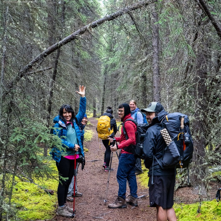
We decided to hike this mountain in late August. It was a sunny but chilly morning. We started at around 8:30 in the morning with the entire trail to ourselves.

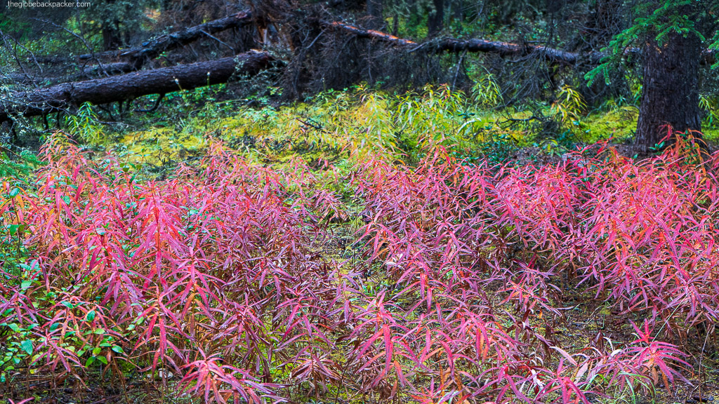


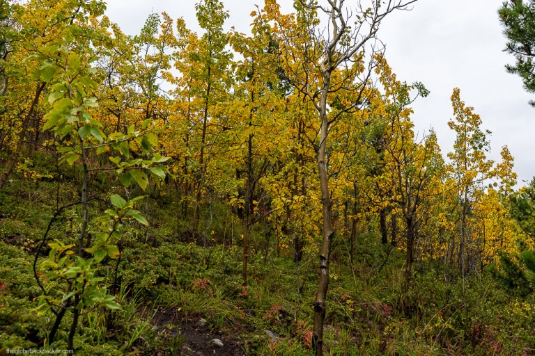
The trail begins from the Klondike Highway (driving directions at the end of this post). Initial 2 kms are a flat walk along the Bear Creek. Then, it gradually begins to climb higher. But, it is still a relatively easy walk in the dense forest.


After hiking for 5.5 kms from the trailhead, you’ll reach at a trappers cabin. This is a good spot for a quick break before the steep incline begins.


There are two paths from here. The same path continues towards the other side of the loop. But, the easier of the two paths follows behind the trappers cabin and starts gaining elevation immediately.
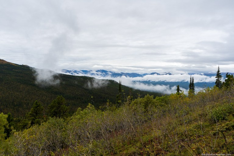


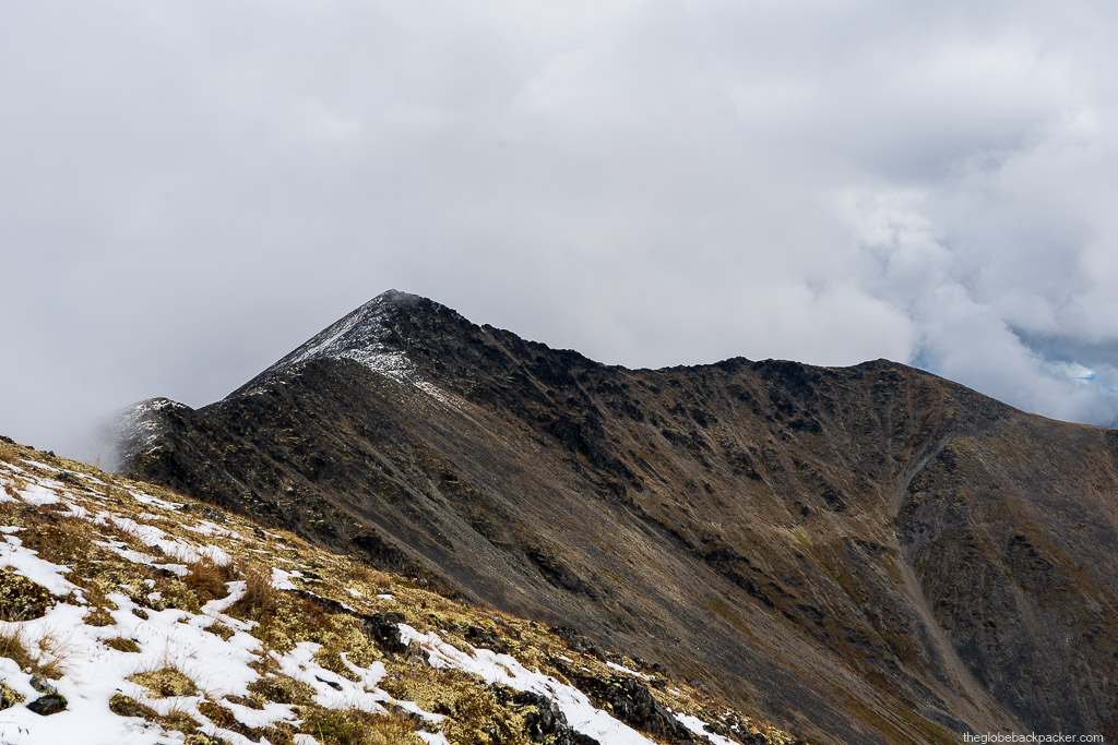
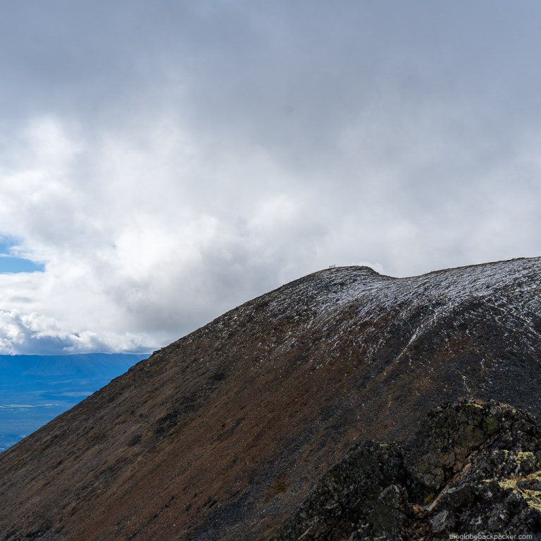
In another few minutes, you’ll reach above the treeline with gorgeous views to your left and behind you. On a clear day, you may also be able to see the summit, that still looks so far away!
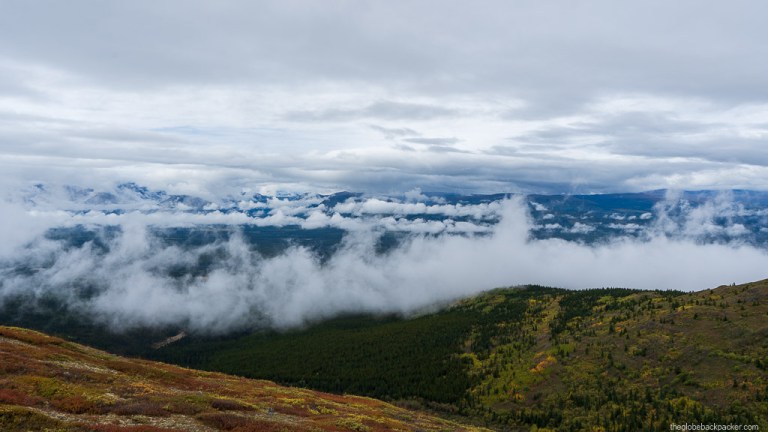
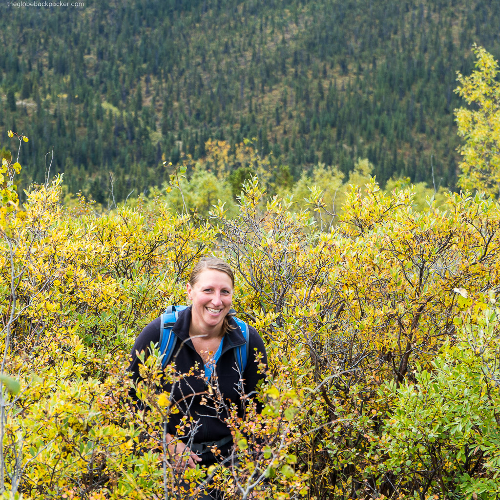
Soon, you’ll reach on a plateau, which is an ideal spot for lunch with a view. On the day we hiked, neither was it cold nor windy. It was a perfect weather for lunch in the company of the clouds.

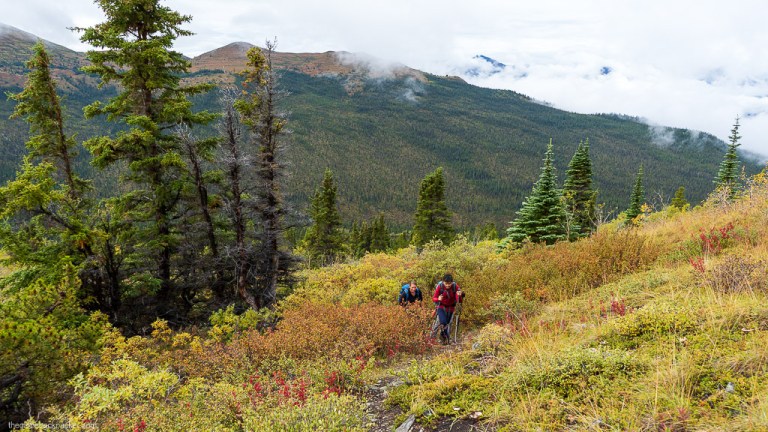
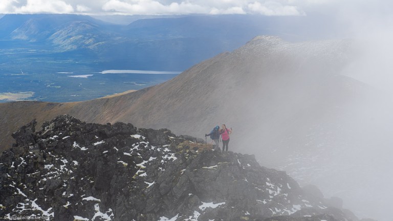
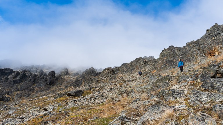
From here, the entire loop is on an exposed ridge line of the mountain. Weather can turn nasty at any point of time up here. Hence, come well prepared with warm layers even in Summer.


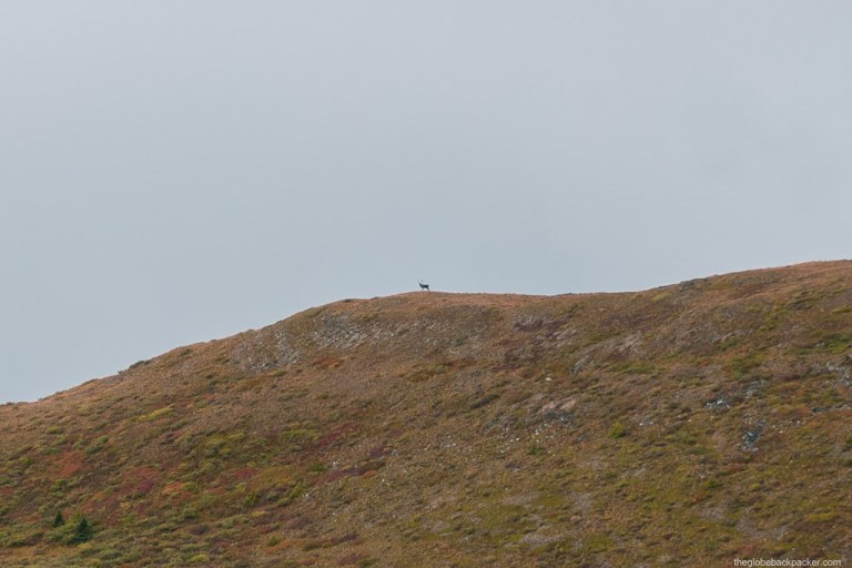
As you climb higher and higher, the terrain changes from grassy meadows to alpine rocky surface with patches of snow even in summer.


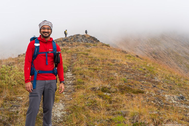
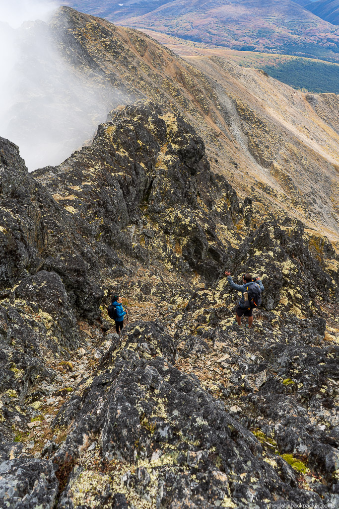
Near the false summit, there’s some rock scrambling to be done. It is a short but one of the most difficult sections of the climb. Once, you pass this scrambling section, it’s a simple walk on the ridge to the actual summit.

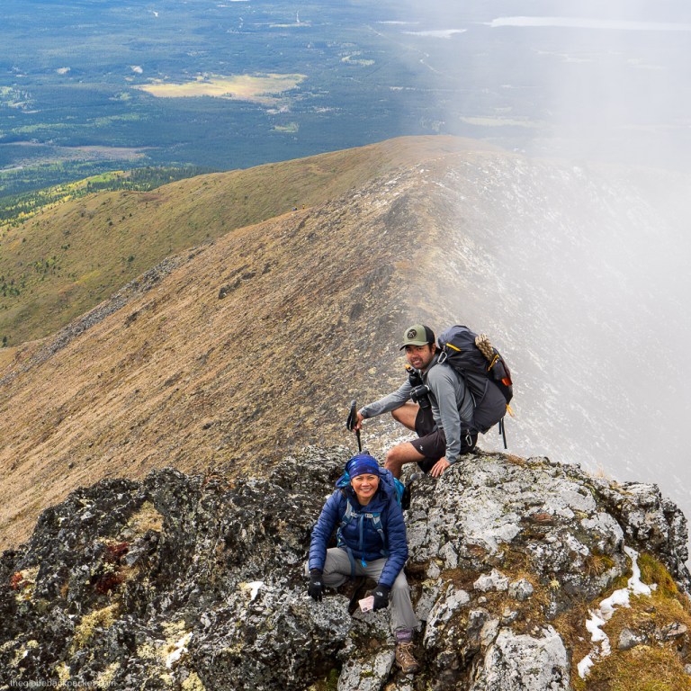
The true summit is about another 2 kms from the false summit. Throughout the ridge walk, views in all directions will simply blow your mind away.


The summit is marked by a rock cairn. Congratulations! Half of your work is done. Time to head back down, while the sun is shining.


There’s still a lot of hiking to do to get back to the trailhead. You can continue on the ridge line to complete the loop at the trappers cabin. This is the most straightforward and easiest option.

Another option is to climb straight down on your right towards the forest below and then bushwhacking your way back to the trappers cabin. This is a shorter route, but it requires lots of bushwhacking and route finding skills.


Since we were running late, we chose to take the shorter route straight down. As we had expected, we deliberately got lost in the forest. Suddenly, our survival instincts woke up and we worked as a group to find our way back to the trappers cabin before dark. Do not take this route unless you’re absolutely confident about your bushwhacking & route finding skills and at least one member of the group has an active gps tracking device with enough battery to last for a few hours in case you don’t find your way out soon. Also, it is more likely to cross path with a bear or a moose while deep inside the forest. Hence, have a bear spray handy at all times.


We could not take any pictures while we were bushwhacking, as we had to keep moving continuously to reach at the trappers cabin before dark.
After crawling for two grueling hours between five feet tall bushes, we finally found the trail at about a kilometer away from the trappers cabin. It was getting darker, and we still had another 5.5 kms to go. Hence, we took a quick snack break, relieved of not being lost anymore and everyone in the group safe and alive!
The last five kilometers were a breeze and we kept ourselves upbeat by recounting our adventures in the forest.

At 10:30 pm, we finally managed to reach back to the trail head. But, the day was not over just yet. There was another surprise in store for us.
Just as we were about to get back into the car, the sky lit up with a large band of green above us! It was as if the northern lights were just waiting for us to get back safe and bid us goodbye for the adventurous day we had.
Driving Directions
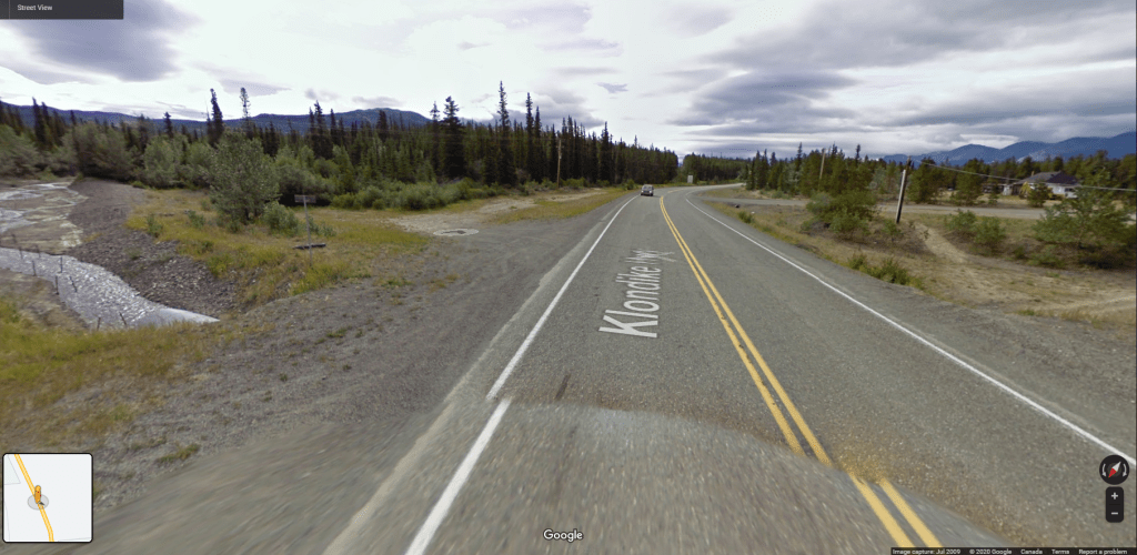
Mt. Lorne is located in the Hamlet of Lorne. Drive south from Whitehorse on the Alaska Highway and turn right on the South Klondike Highway. Drive for another 18 kms until you reach Bear Creek. There are parking spots on the left of the highway, just after the Bear Creek. This is the trail head for Mt. Lorne.

More Pictures


One response to “Hiking, getting lost and bushwhacking at Mt. Lorn”
[…] Check out some of the spectacular views and our adventures on how we got lost and bushwhacked to live and tell a tale here. […]
LikeLike