
Note Friends: For a limited time (until April 4th, 2024), I’m running a fundraiser for a non-profit organization ’Planeterra’. Please help me support Planeterra by making a donation through my fundraising page.
Planeterra is a non-profit organization that supports multiple small communities worldwide by running various projects to empower the communities where G Adventure travels. More about Planeterra can be found on my page.
If you enjoyed reading this post and would love to make a small difference to the communities around the world. Even a small donation will help me achieve my goal! The process is fast, easy, and secure. Thanks so much for your support.
https://www.classy.org/fundraiser/5315896
Now back on to this post! Thanks & Cheers!

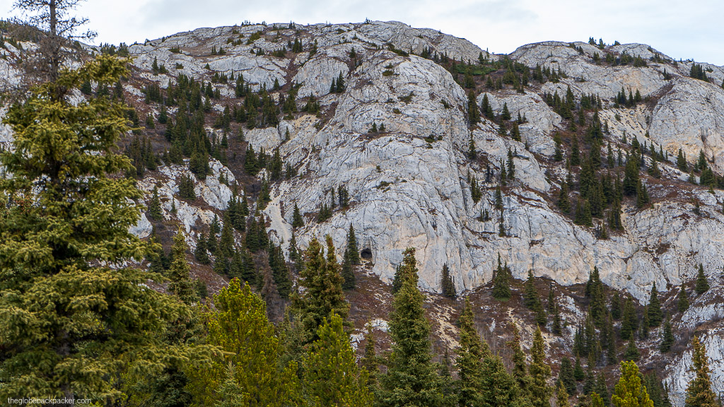
Mt. White is a big mountain looming over the Alaska highway on the north and Little Atlin Lake on the South West. It is easily recognizable while driving south on the Alaska highway, immediately after crossing the Jakes Corner, 80 kms from Whitehorse.
| Type | Out & Back |
| Distance | 6.6 kms |
| Elevation Gain | 720 m |
| Difficulty | Easy |
| Time | 3-3.5 hrs |
Note: This trail is closed from May 15 to June 15 for the goats to nurse and raise their kids.
Mt. White hike is a good trail for both, running on cool summer days, and Snowshoeing in the freezing winter months. Given its steep elevation gain in a short distance, it is a good workout hike for the day.

The trail starts from the parking lot, on Atlin Road, near the generator station at the base of the mountain. The trail starts in the trees and begins to rise steeply pretty soon. There is a cable that runs parallel to the trail. You can follow this cable for the first half of the hike, to the Northwestel radar tower. It is at about 2 km from the trailhead. This is a good spot to soak in some views and have a quick bite or two.

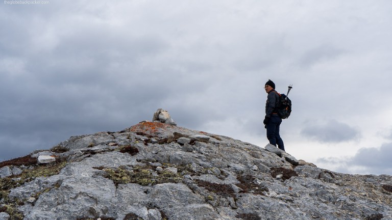
The summit is only a little over a kilometer from the Northwestel radar tower. This section is a bit more rocky and exposed to heavy wind. Just below the summit, on the rocky face of the mountain, you would see various cave formations on the mountain. If you have time and some adventure in you, get off-trail to explore some of these formations.

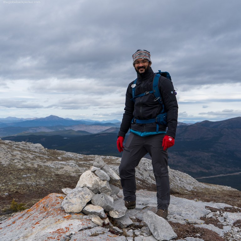
The summit of the mountain is a large flat area where you can explore in all directions for different views. On the north side is the Alaska highway and on the southwest side is the Little Atlin Lake. On a clear day, further south, you would also be able to see the Atlin Lake.

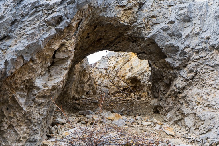
While hiking back to the trailhead, we had some fun time going off-trails exploring various rock formations where we found a rock tunnel like the one shown in the images below.


Driving Directions
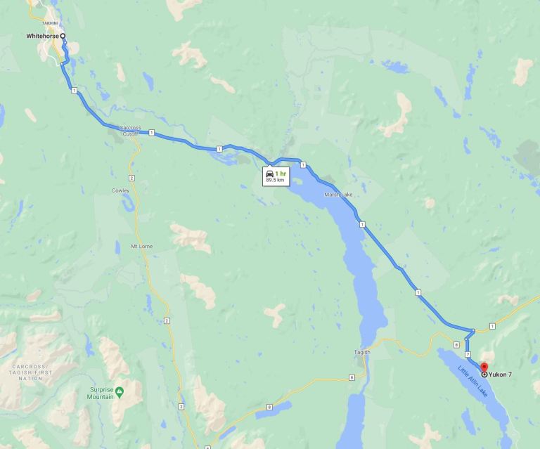
Mt. White is located at around 90 kms from Whitehorse. It is on the Atlin Road as shown on the map below.
That’s all for this trail. Get out and enjoy the nature while it lasts!
