
Note Friends: For a limited time (until April 4th, 2024), I’m running a fundraiser for a non-profit organization ’Planeterra’. Please help me support Planeterra by making a donation through my fundraising page.
Planeterra is a non-profit organization that supports multiple small communities worldwide by running various projects to empower the communities where G Adventure travels. More about Planeterra can be found on my page.
If you enjoyed reading this post and would love to make a small difference to the communities around the world. Even a small donation will help me achieve my goal! The process is fast, easy, and secure. Thanks so much for your support.
https://www.classy.org/fundraiser/5315896
Now back on to this post! Thanks & Cheers!
The hiking trail on Mt. Anderson is a relatively new one added to the long list of hikes in the Yukon. It is an easy day hike enjoyable in summer & fall and a great destination for backcountry snow sports in the winter.
| Type | Out & Back |
| Distance | 13.8 kms |
| Elevation Gain | 867 mts |
| Elevation | 1712 mts |
| Difficulty | Easy |
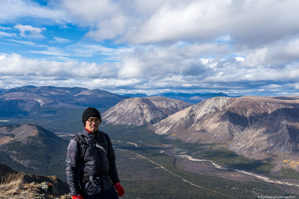
The trail near the summit overlooks the Annie Lake road and the views from there are incredible. It is definitely worth the hike and is one of the better hiking trails in Yukon for breathtaking views and also for other activities like trail running, ATVs and biking.
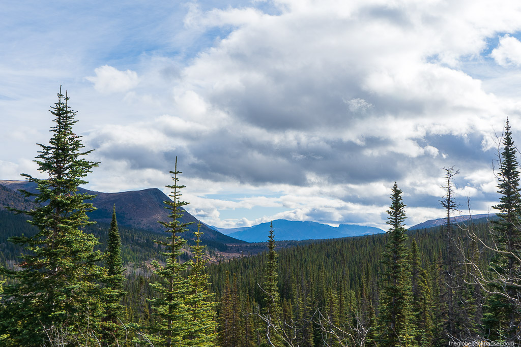
The trail begins at the foot of the mountain in a dense forest. But, the trail itself is quite wide & open, during the first kilometer, when the ascent is gradual.


After about 0.8 kms, the trail forks into two paths – one on the left, takes you to the summit of the Tally Ho mountain and the one to the right will take you to the Mt. Anderson summit. As you continue on the right fork, it will meander around the south side of the mountain in clockwise direction. It will finally begin to get steep as you are directly to the south of the mountain.

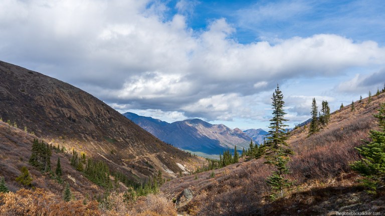
From here, as you start gaining elevation, more views open up. Straight ahead, you will be able to see the trail leading up to the summit as shown in the image below. It may get windy any time of the day, hence it is wise to come prepared for any weather.

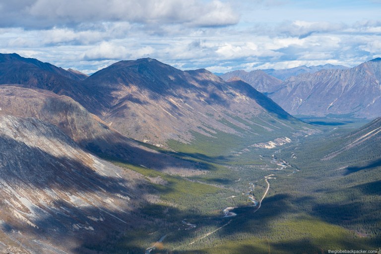
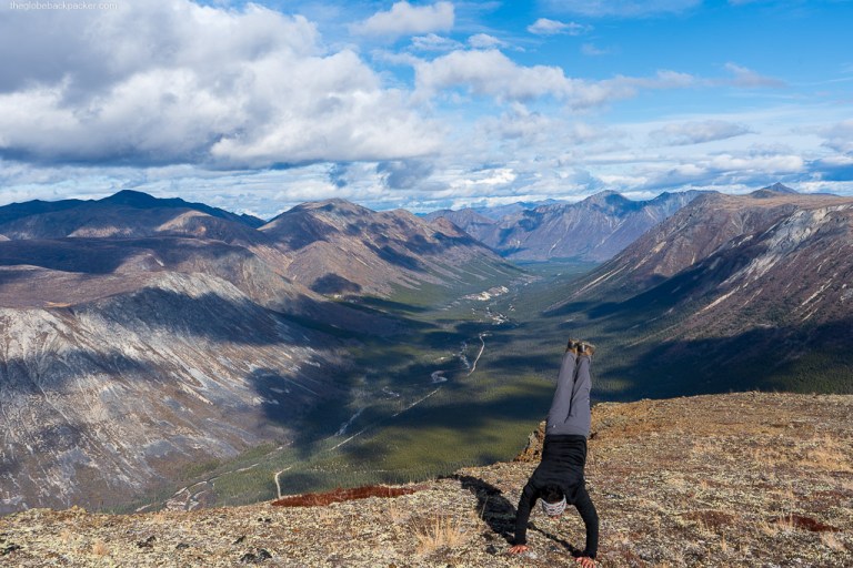
Just below the summit, it starts to plateau out. It is one of those peaks that has a large summit area to explore views in different directions. Towards the north, down in the valley, runs the Wheaton river in the east-west direction and parallel to it the Annie Lake Road.
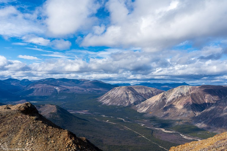
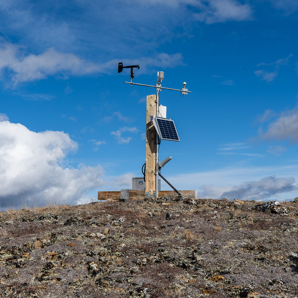
The weather radar is just a few feet below the summit. There is a rock cairn with a pole marking the true summit. If you continue for another five minutes from the summit, you will reach a beautiful spot to take a break, and have a bite with a view of the valley, and Mt. Tally Ho & Mt. Gilliam in the distance.


This is an out & back trail – you can trace back the same route back to the trailhead.
Mt. Anderson would also be a great destination in the winter for skiing/snowboarding.


Driving Directions
The Mt. Anderson trail can be reached by accessing the rough Annie Lake road. Even though the road is wide and well maintained at the beginning, a FWD/AWD would be better for navigating here. We saw some smaller sedans driving here, but it may get tricky in wet conditions.
It is about an hour and a half drive from Whitehorse because of slow going on the Annie Lake road.
Click on the link below the image to open navigation on Google Maps in a new window.

Have a great hiking season this year and see you in the mountains!
More Pictures


