
Note Friends: For a limited time (until April 4th, 2024), I’m running a fundraiser for a non-profit organization ’Planeterra’. Please help me support Planeterra by making a donation through my fundraising page.
Planeterra is a non-profit organization that supports multiple small communities worldwide by running various projects to empower the communities where G Adventure travels. More about Planeterra can be found on my page.
If you enjoyed reading this post and would love to make a small difference to the communities around the world. Even a small donation will help me achieve my goal! The process is fast, easy, and secure. Thanks so much for your support.
https://www.classy.org/fundraiser/5315896
Now back on to this post! Thanks & Cheers!
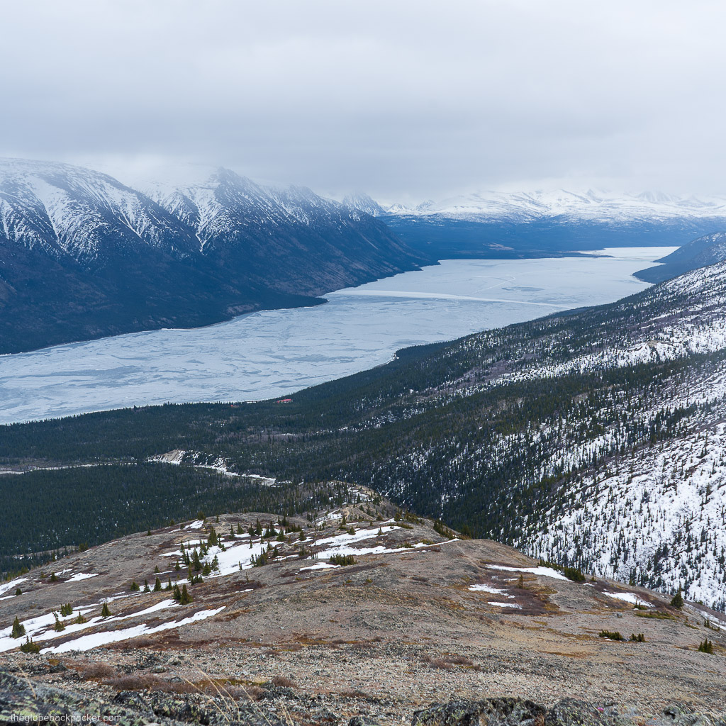
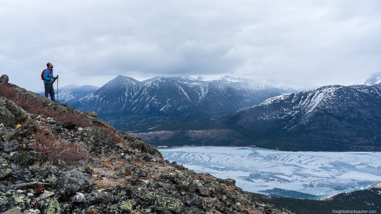
Kusawa Ridge hike is a lightly trafficked trail located near the Kusawa Lake Campground. It provides panoramic views of the Kusawa Lake and the Ibex Valley mountains. You can spot various wildlife on and near this trail which includes White Tailed Ptarmigan, Caribou and Sheep.

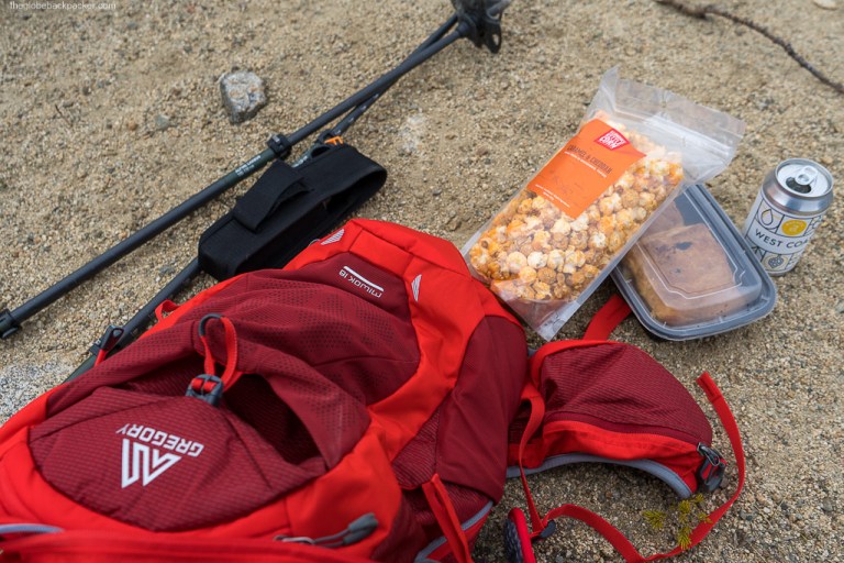
It tends to be very windy and cold as two thirds of the trail is above the tree line, along the ridge. There were flurries at the Summit when we hiked in mid-May. An extra layer is always handy.
| Type | Out & Back |
| Distance | 8.5 kms |
| Elevation Gain | 820 mts |
| Elevation | 1540 mts |
| Difficulty | Easy |
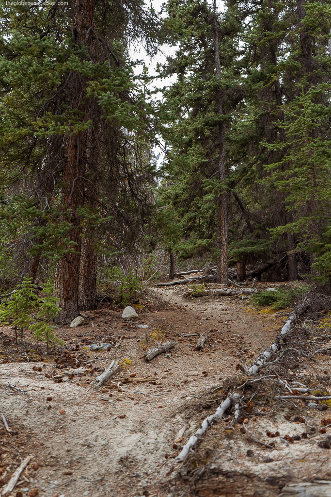
The trailhead is located just after the Kusawa Lake Campground. There is a small bridge for the creek crossing; right before the bridge is the trailhead on your right.
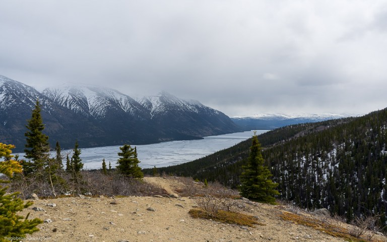

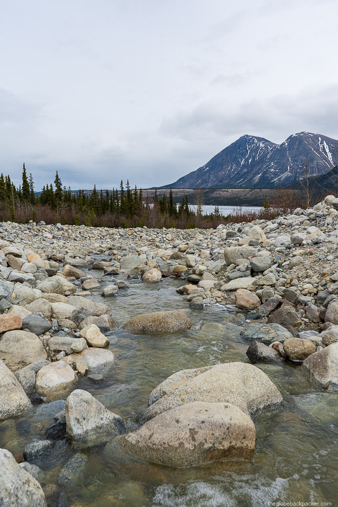
First 1.8 kms are parallel to the creek. You can also walk on the creek bed if you like as an alternate path. If you do that, do not miss the mark where the trail separates from the creek and starts climbing up the ridge. There would be an insane amount of mosquitoes, depending on the time of the year you’re hiking. Get a strong deet unless you have spare blood to donate.
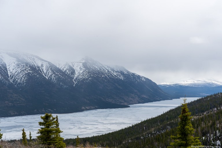

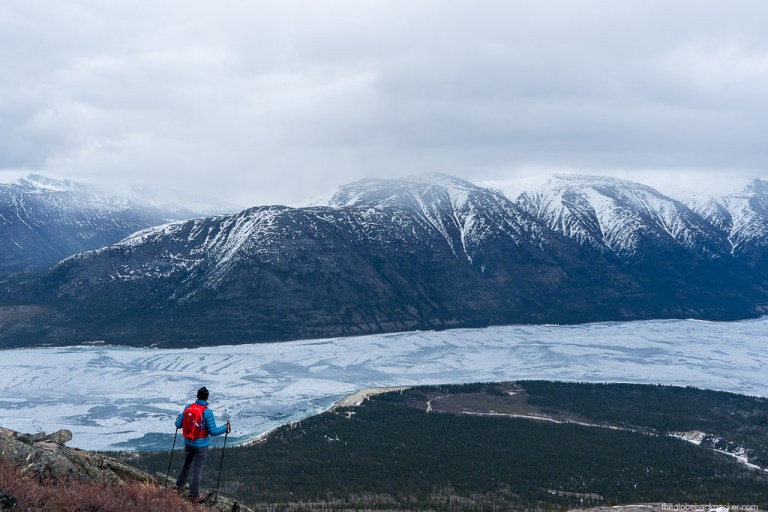
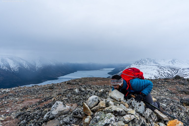
As you get off the creek and begin hiking on the ridge, it gets steep soon enough. In no time, you would be above the treeline and get a view of the big mountains behind you. The mountain behind, on the same side of the lake, is the Jo Jo S2 peak and the one on the opposite side is Mt. Coudert.
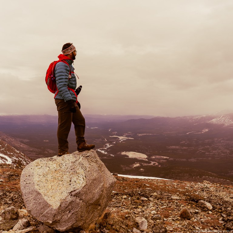
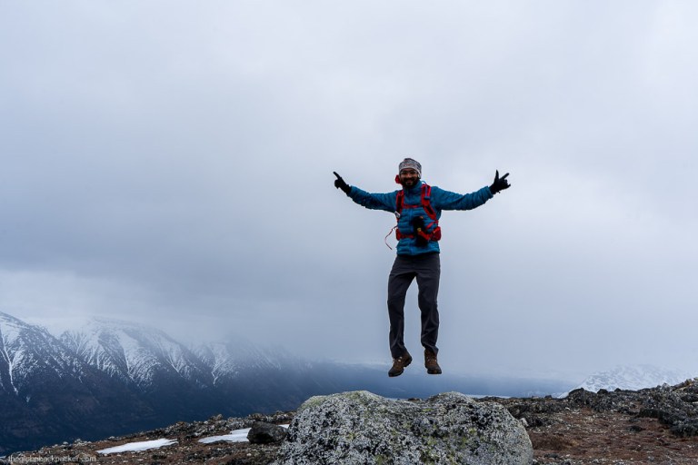
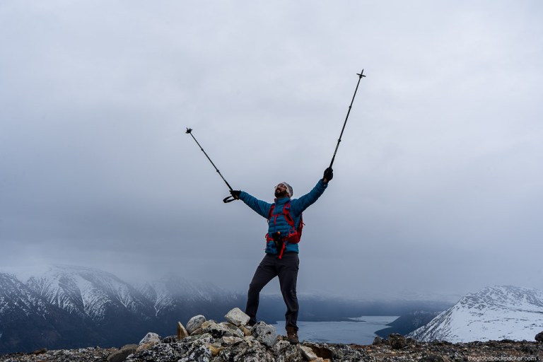
It may get cold, even on a Summer day, up on the ridge; as you can see in the images above. There’s a saying in Yukon, “You should always be prepared for any season weather, any time of the year.”
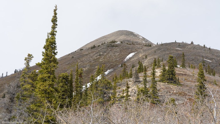
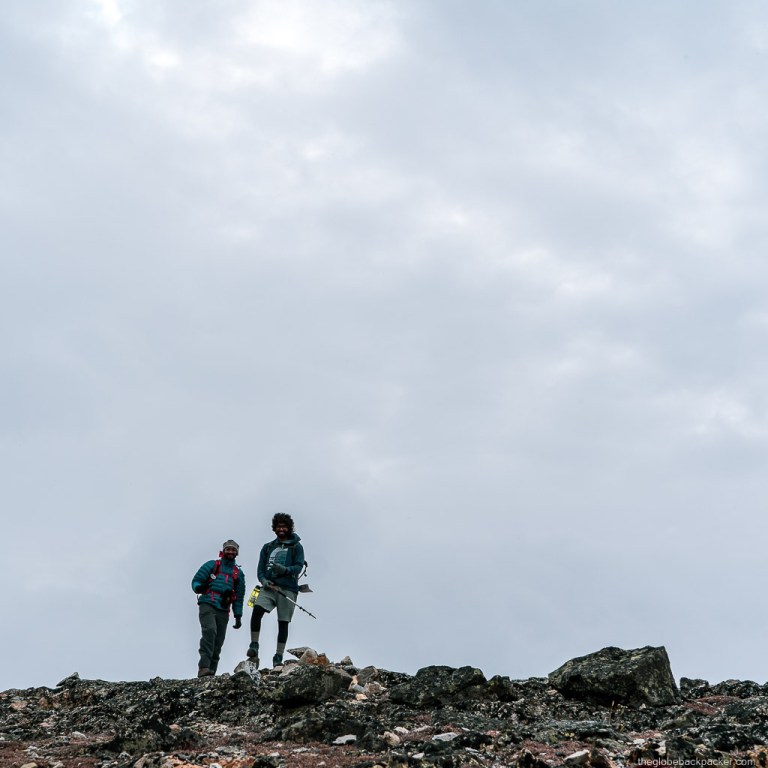
About 3 kms in, on the trail, there is a fork (unmarked). Both left and right trails lead up to the summit, but the left one is the original trail. The other one is longer and steeper.

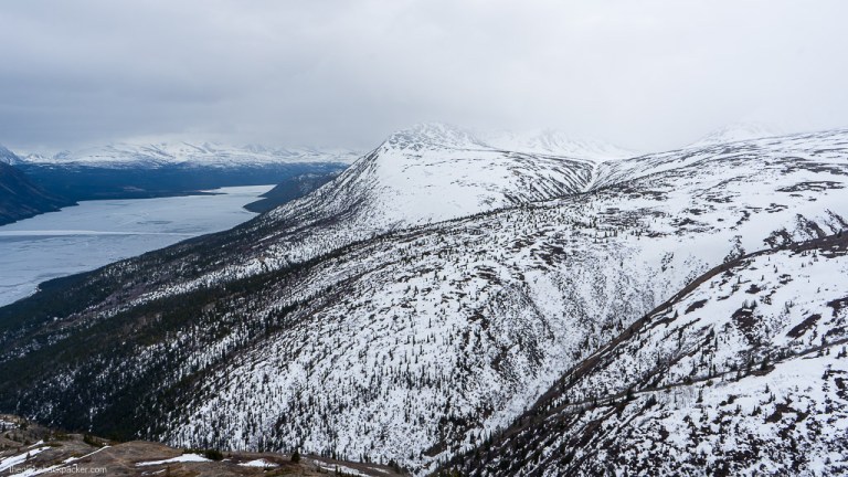
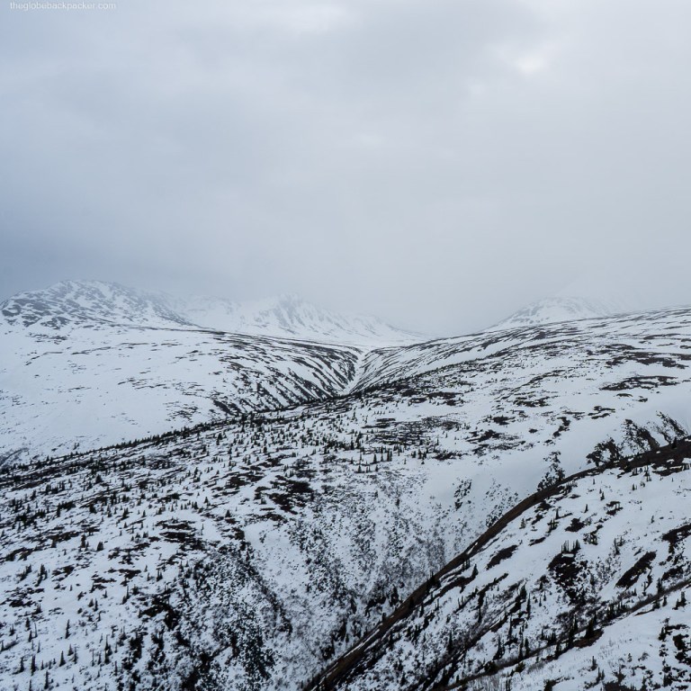
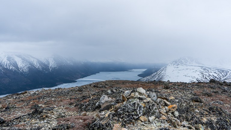
The summit is marked with a large rock cairn. It is a large flat area with brutal winds blowing on a regular basis. It started snowing flurries when we reached the summit. It was freezing, but magical at the same time.

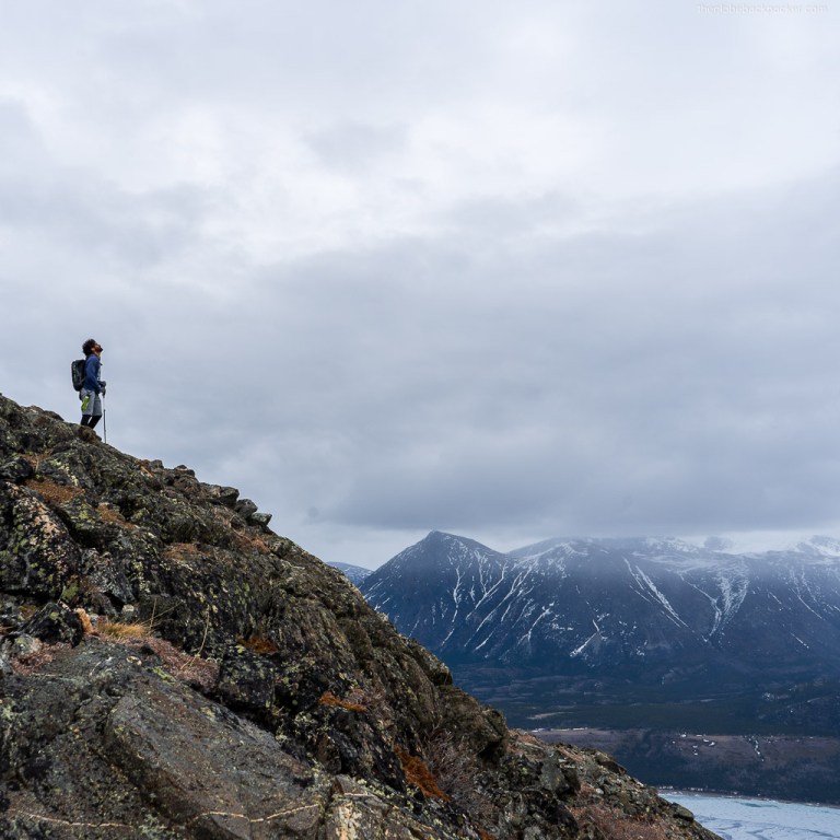
On a clear day, you can see the Alaska Highway & beyond to the north and Ibex Mountain range on the other side of the lake.

If you are adventurous enough, you can continue hiking further north from the summit. There are no trails, but you should be able to manage it well, if you stay on the ridge.

You will need to trace back the same way to the trailhead. One thing I personally like about this hike is that, you have fantastic views while going up and down, both.

While heading back down, you can take a break at the flat section, midway, for a quick snack/lunch. It is less windy here, compared to, at the summit.

This is one of my favorite easy hiking trails in Yukon, which I would love to come back to, in a different season (may be in winter… ❄️). Until then, cheers and see you in the mountains!
Driving Directions
Kusawa Ridge Trail is located about 90 kms from Whitehorse and it’ll take approximately 1.5 hours to drive there. Click on the map below to open directions using Google Maps.
It is important to note that you may need a 4×4 or an AWD on certain days when it is rainy and muddy. There are also occasional warnings of landslides during Spring/Early Summer when the snow is melting.

More Pictures


One response to “Kusawa Ridge Hike in Yukon, Canada”
[…] Check out my experience of hiking this trail here. […]
LikeLike