
Tag: Hiking in Yukon
-
The Globe Backpacker’s List of Top 10 Hikes in Yukon
The Yukon is big, wild, full of adventure and with lots of wildlife to see. For these reasons, Yukon is high on the bucket list for many hikers and backpackers alike.
-
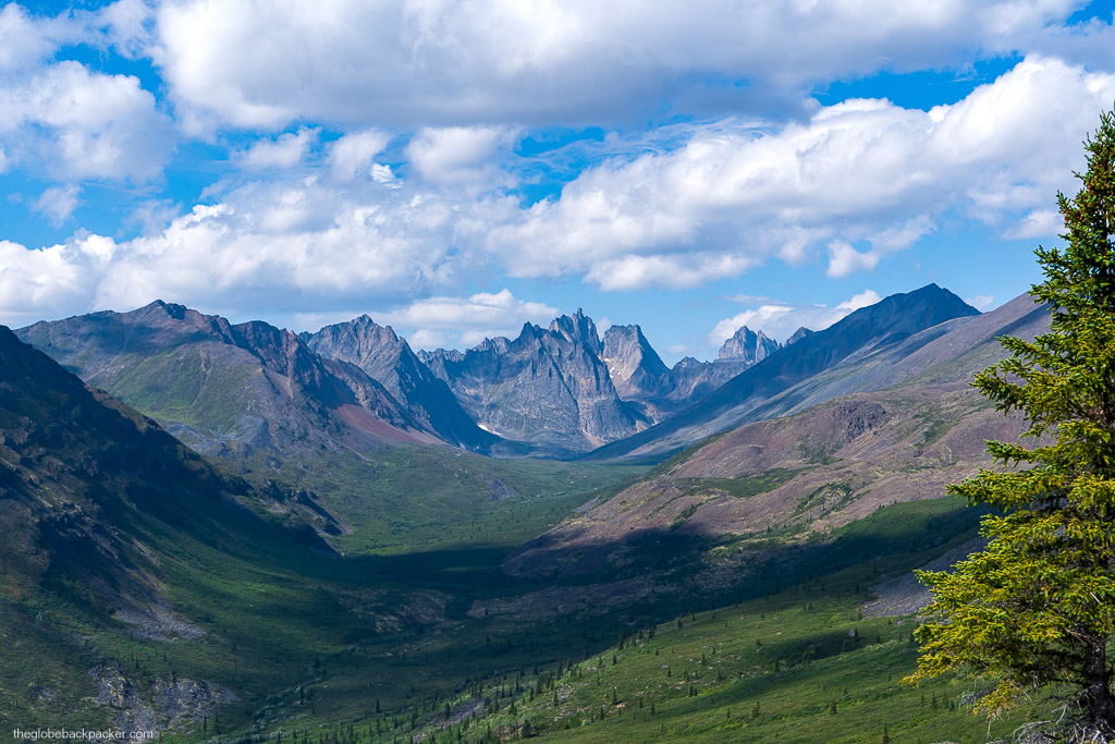
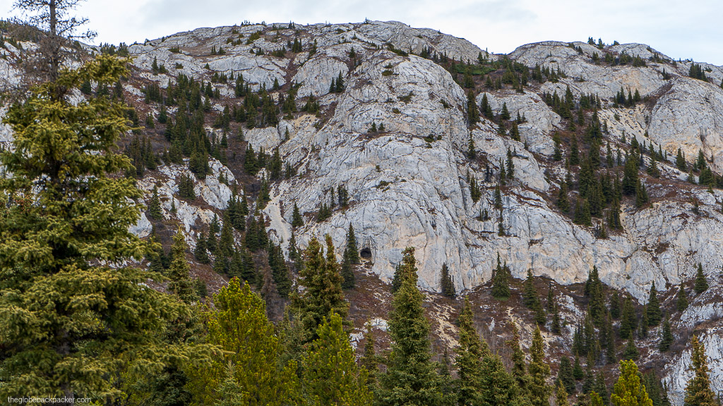
Hiking the Tors in Yukon

Note Friends: For a limited time (until April 4th, 2024), I’m running a fundraiser for a non-profit organization ’Planeterra’. Please help me support Planeterra by making a donation through my fundraising page. Planeterra is a non-profit organization that supports multiple small communities worldwide by running various projects to empower the communities where G Adventure travels.…
-
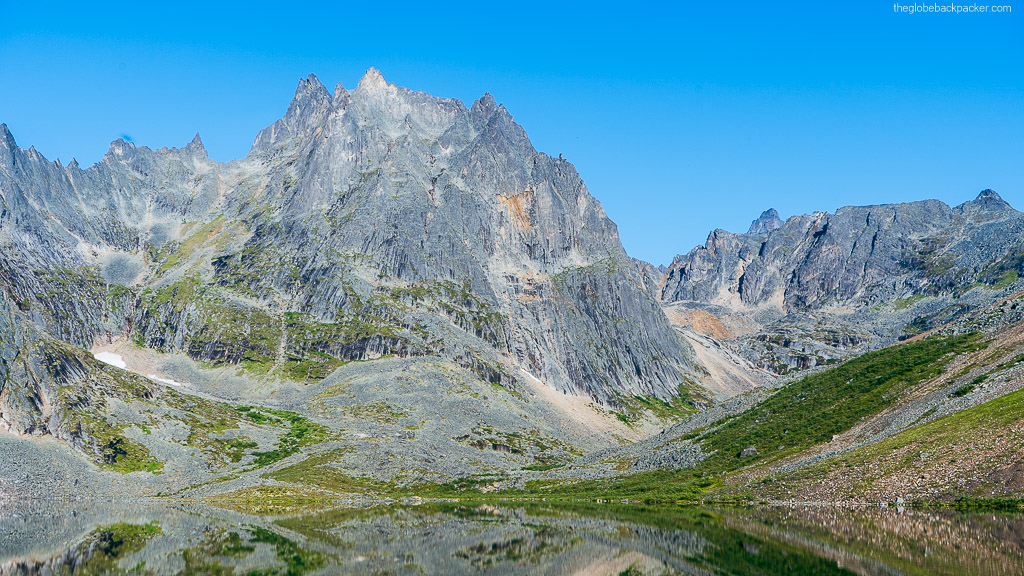
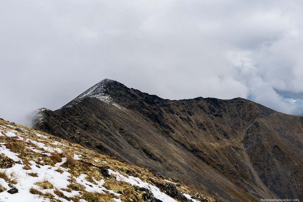
Hiking Grizzly Lake, Divide Lake & Talus Lake Trails in Tombstone Territorial Park
Note Friends: For a limited time (until April 4th, 2024), I’m running a fundraiser for a non-profit organization ’Planeterra’. Please help me support Planeterra by making a donation through my fundraising page. Planeterra is a non-profit organization that supports multiple small communities worldwide by running various projects to empower the communities where G Adventure travels.…
-
M’Clintock Hike in Whitehorse, Yukon
M’Clintock hike is a very short hiking trail, just outside Whitehorse. Given its short but steep trail…
-
Grey Mountain Hike & The Secret Cave
If you’ve been to Whitehorse, you must have seen the Grey Mountain, prominent over the city. It is even visible from the downtown riverfront
-
Spirit Canyon – An ideal beginner’s hike in the Yukon to fall in love with the activity

Spirit Canyon, located off the Alaska highway near Ibex Valley, is an ideal first hike for any new hiker in Whitehorse. It has beautiful views of the Alaska highway and Ibex valley beyond.
-
Hiking Mt. Anderson in Yukon, Canada

The hiking trail on Mt. Anderson is a relatively new trail added to the long list of hikes in the Yukon Territory in Canada.
-
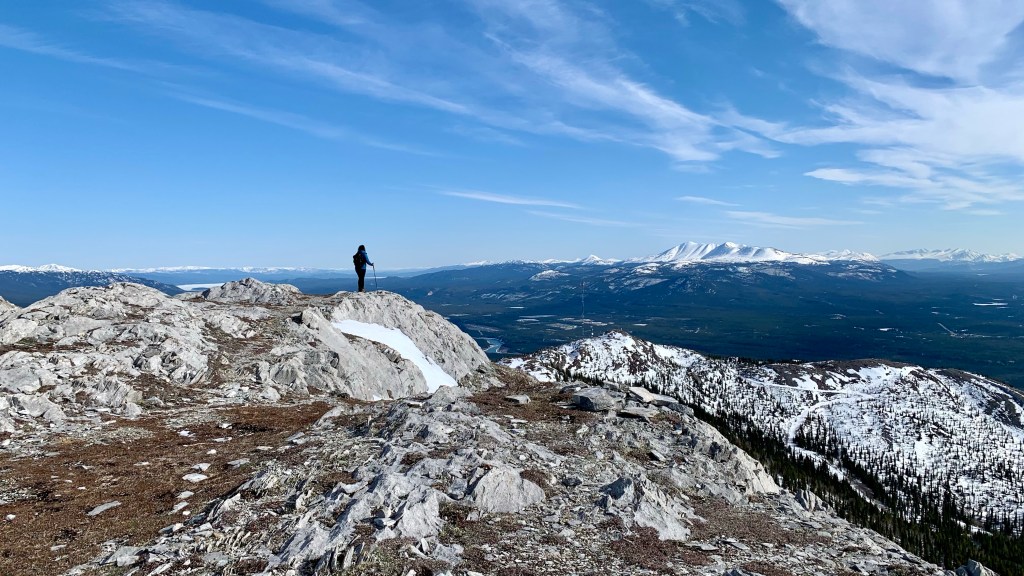
Running the Mt. White Trail
Mt. White is a big mountain looming over the Alaska highway on the north and Little Atlin Lake on the South West.
-
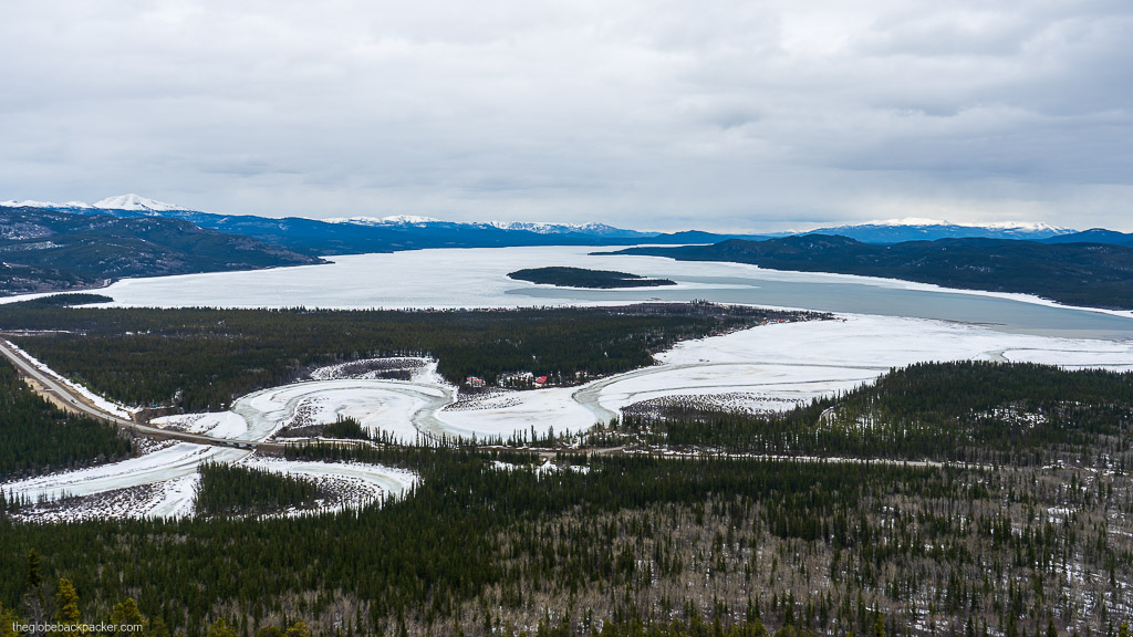
Hiking Fish Lake and Bonneville Lakes in Whitehorse, Yukon Territory

Fish Lake hike is a loop trail, located just 20 kms from the Whitehorse city center. Due to its close proximity to the town, it is usually a busy hike…
-
Hiking, getting lost and bushwhacking at Mt. Lorn
Mt. Lorne is a tall mountain, south of Whitehorse, on the Klondike Highway. It is hard to miss and is an underrated peak in this region. Due to its close proximity to town, many people skip it for other well known hikes in Carcross and Kluane regions.
-
Kluane National Park: Part 2 – Hiking King’s Throne Peak
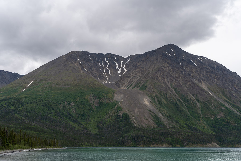
The Kluane National Park is located in the southwest corner of the Yukon Territory. It shares its border with two other parks – Tatshenshini-Alsek Provincial Park of British Columbia to the south and Wrangell-St. Elias National Park & Reserve of Alaska, USA to the west.
-
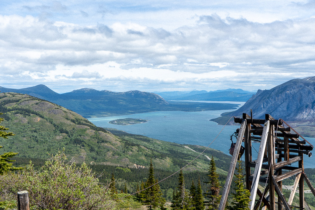
Hiking the Sam McGee Trail in Carcross, Yukon
Note Friends: For a limited time (until April 4th, 2024), I’m running a fundraiser for a non-profit organization ’Planeterra’. Please help me support Planeterra by making a donation through my fundraising page. Planeterra is a non-profit organization that supports multiple small communities worldwide by running various projects to empower the communities where G Adventure travels.…
